To the end of the Ashby canal
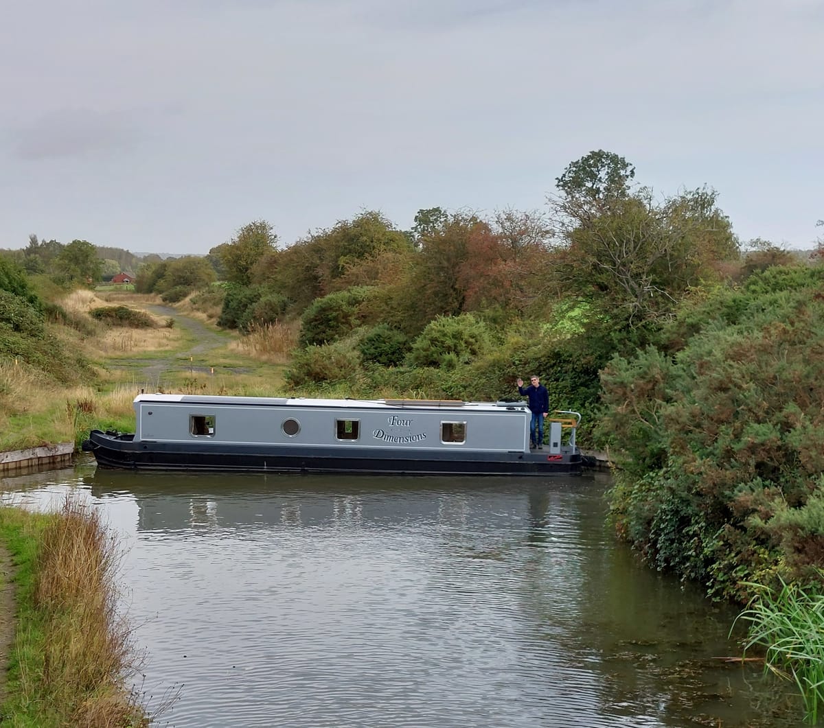
This isn't normally a travel blog, but we did venture onto slightly unusual waters in 2026, governed neither by the Canal and River Trust, nor the Environment Agency. These waters are a short section of restored canal at the end of the Ashby Canal in Leicestershire. We visited the site two years ago in Four Dimensions, but at that time the restored section was closed to boats. This time it was open for navigation, and navigate it we did.
The Ashby Canal runs 22 miles on the level (no locks!) with about 60 bridges, from Marston Junction on the Coventry Canal, to Snarestone. Originally it ran to a terminus at Moira, close to Ashby-de-la-Zouch. The last 8 miles were abandoned in stages in the 1940s - 1960s due to mining subsidence, leaving Snarestone Wharf as the terminus. This is how it remained until the Ashby Canal Association started to rebuild the final 8 miles, aided by the fact that the mines have been long closed and subsidence is no longer a major problem.
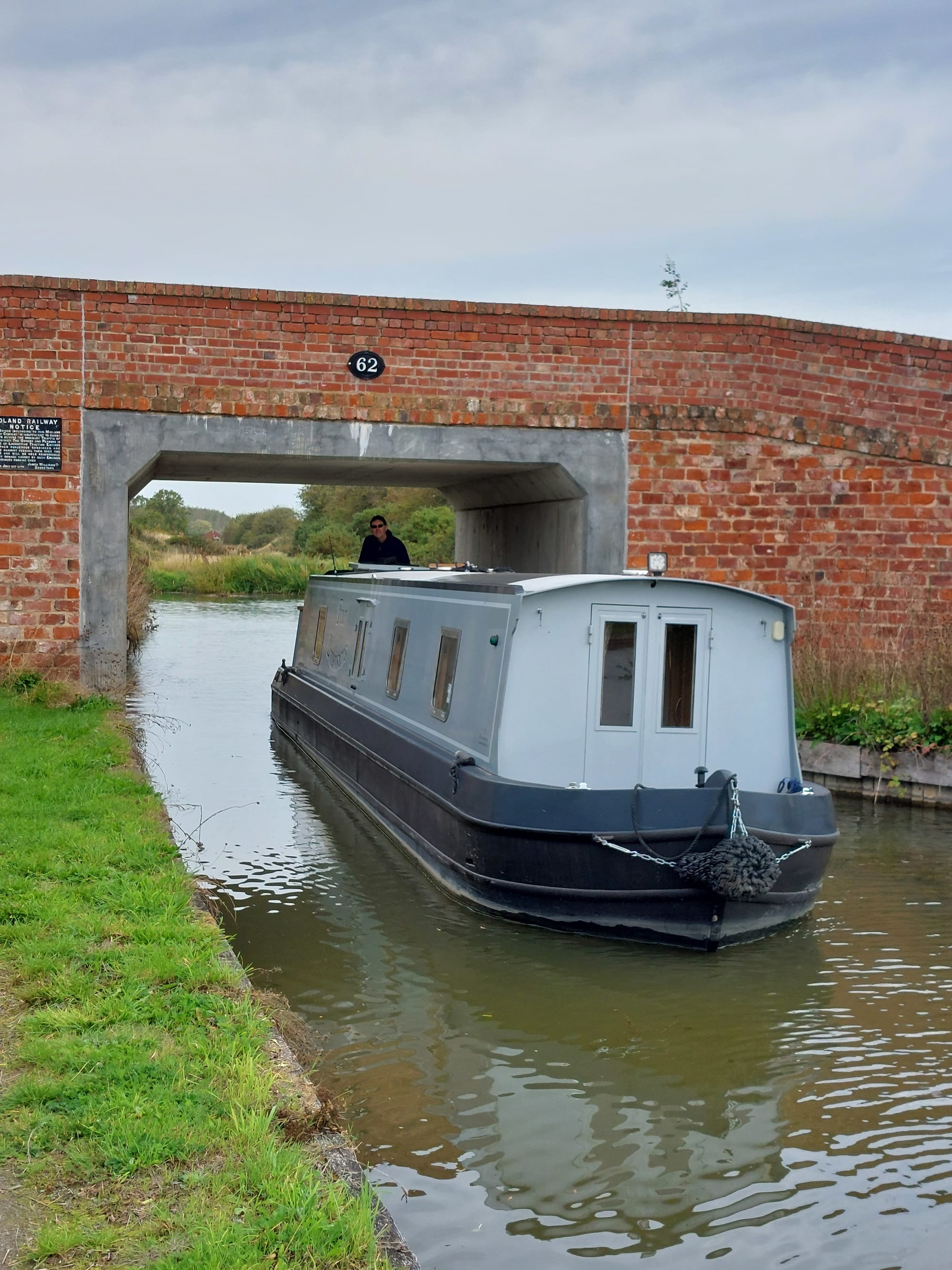
Two pieces of the final 8 miles have been restored, and are open to navigation. One of them is a disconnected stretch at Moira, which we haven't seen, the other is a short extension northwards from Snarestone Wharf to a turning circle where boats of up to 52 foot length can be turned. I've chosen my words here carefully, because to turn even our 40 foot boat, a bit of pulling on the bow rope was needed. This is because the turning point isn't constructed like a typical canal winding hole, where you nose the boat into the winding hole then do a sort of three-point turn to come out facing the opposite way to the direction you entered. It is instead a circular widening of the canal, with piled edges and a soft bank on the north side where the canal will one day continue onwards. Just south of the turning circle, a new bridge 62 has been built.
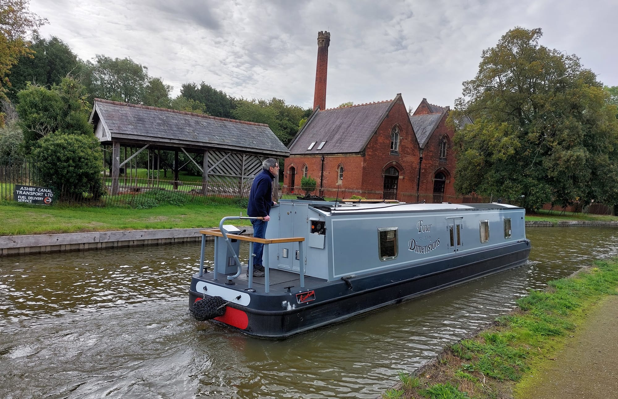
Further south, nearer to the wharf, there is a pump house (unconnected with the canal) which once supplied water from a well to a water tower in Hinkley.
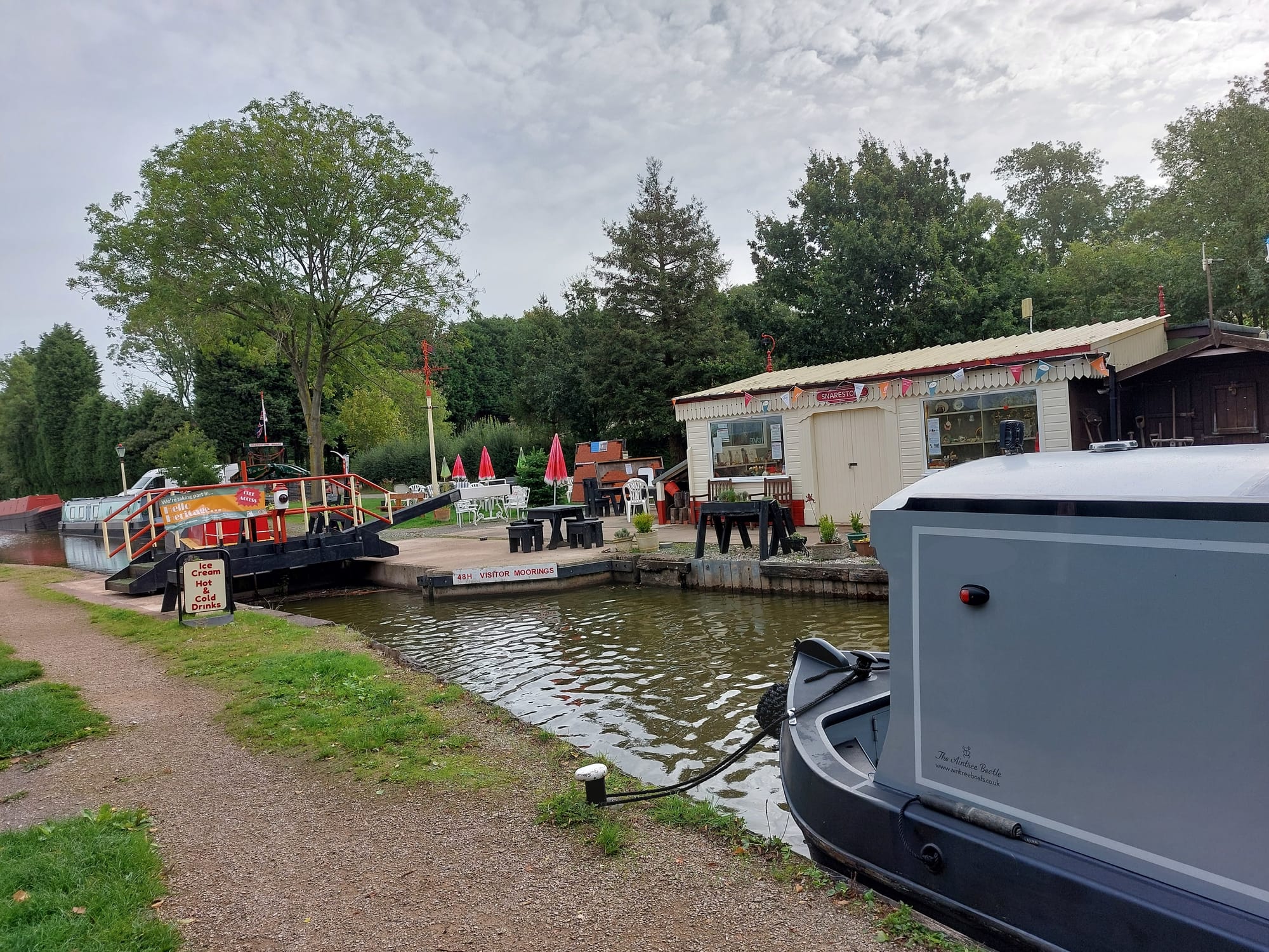
At Snarestone Wharf, there is a stop gate (which also doubles as a pedestrian swing bridge), a CRT facility point, and the Ashby Canal Association's shop and visitor centre. The gate marks the northern limit of Canal and River Trust jurisdiction. There are excellent moorings on the restored stretch, and between bridge 61 and the wharf. Boats of greater than 52 foot length would have to reverse back through the stop gate, but shorter vessels could travel the whole length as we did, and turn at the turning circle just north of bridge 62.
[Pictures by Elizabeth Shirley.]